

 Discover Ecuador
Lodging

Ecuador travel
Browse the tourism services you can book on your visit to Sigchos
Discover EcuadorDiscover EcuadorDiscover EcuadorDiscover EcuadorDiscover EcuadorDiscover EcuadorDiscover EcuadorDiscover EcuadorDiscover EcuadorDiscover EcuadorWe have 10 tourism providers listed in Sigchos, Ecuador.
Browse the tourist attractions you can visit in Sigchos

The natural thermal water pools of Cunuyacu are located at 4125 meters above sea level at the foot of the snowy Iliniza Sur, the Thermal Waters are made up of its two slopes of underground origin, its waters are transparent and of volcanic origin, the waters rest in a kind of pool where they reach a temperature of approximately 22ºC to 25ºC, which is why they are hypothermal waters. They are one of the best preserved treasures in the province of Cotopaxi, like the waterfall of the same name; The small waterfall is shown as a waterfall of about 12 to 15 meters high, the water is at a temperature of approximately 6ºC, these natural attractions are part of the Los Ilinizas Ecological Reserve. Its name comes from two Quechua words yacu = water, cunu = rabbits, it was named in this way due to the large presence of paramo rabbits that inhabit the surroundings of the attraction.

These are carved rocks from pre-Hispanic times, which occupy four hectares and measure 400 meters high. Cotopaxi is full of places, magical, mythical places, but, above all, enigmatic. One of them is the columns of Tangan, which are rocks arranged one on top of the other, perfectly uniform. Although they are of natural origin, the human hand has also passed through them. Some historians maintain that it may have been that of the Incas. The columns are in the most recondite of the urban parish of the Sigchos canton, in the province of Cotopaxi and were discovered seven years ago. Before, nobody knew them, except for the people who lived near the San Marcos hacienda, the closest inhabited place to the place. According to archaeological studies from 1997, there are pre-Hispanic remains in that area that perhaps belonged to the Sigchilas and later to the Incas. This natural resource is made up of several cliffs on the eastern flank of the cloud forest and is approximately 400 meters wide forming a winding "U" with an approximate height of the rock walls of 100 to 120 meters, these permissible and clean rock walls are ideal for the execution of the activity of rock climbing and hiking. Currently it takes only 15 minutes to reach the columns. In addition, a restaurant, sport fishing, camping area, inn house and trails were adapted.

The altitude reached by the summit of Los Illinizas allows for the existence of two well-marked zones: towards the west, it is more humid soils and vegetation, while in the foothills that face the inter-Andean alley the soils are more sandy and with little Water. In the reserve you can observe flora and fauna, Los Illinizas, El Corazón, named for its inverted heart shape. A volcano with two peaks, a heart-shaped hill and a turquoise-green lagoon are the main attractions of this reserve. From its foothills are born the springs for two important rivers, the Toachi, which runs north through a 40-meter-high canyon, and the Pilatón. This reveals the importance of the cloud forests of this reserve for the generation of water for the nearby towns and cities. The reserve is divided into four sections and you may have visited it without realizing it. The largest includes a long block to the west of Quilotoa, where the springs and streams are born that will feed the Toachi River downstream. The second zone, located to the northeast, is the block where the Ilinizas (Illinizas Sur - Illinizas Norte) and the Heart are. The third block is to the southwest, separated from the larger section by the Latacunga – La Maná highway. The fourth block is a kind of island of 800 hectares that basically surrounds the Quilotoa lagoon.

This place would be the last resting place of Atahualpa, according to investigations. The place is called Malqui Machay, which in Quichua means "burial of the body of the parent of the ayllu." The official news of the discovery of Malqui-Machay was released on April 8, 2011, within the framework of the Eightieth Anniversary of the Military Geographic Institute of Ecuador. In Machay there would not only be the historical compilation of the Incas, but also of the culture of the Yumbos and the Panzaleos. How to get? From Quito, at the Quitumbe Terrestrial Terminal you can take the following companies that travel directly to Sigchos: Ilinaza, Reina de Sigchos, Saquisilí, approximate distance by land 115 km, travel time 3 hours.
Region
sierra
Province
Cotopaxi
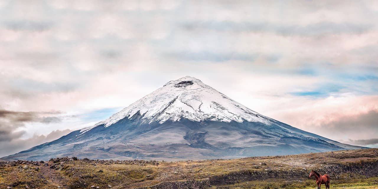
Discover Sigchos, a charming city in the province of Cotopaxi, in the sierra region of Ecuador. A destination for visitors who want to explore the cultural and natural richness of Ecuador.
Browse the tourism services available all over Ecuador.
Find the ideal city for your next trip and discover everything about it.
Find the main tourist attractions in the main cities of Ecuador.